Skip to content

Or try searching by Category and/or Location

Top destinations

Gerpir
Gerpir is the easternmost cape of Iceland, steep and rugged, 661 meters high. It is believed that the oldest cliffs in Iceland, about 12 million years old, are found in Gerpir.  Gerpissvæðið is a true paradise for hikers. Ferðafélag Fjarðamanna has issued a hiking map of the area, which is available in information centers and shops in Fjarðabyggð.  Anyone interested in outdoor activities should visit the Gerpir area.  Powered by Wikiloc
Páskahellir Cave
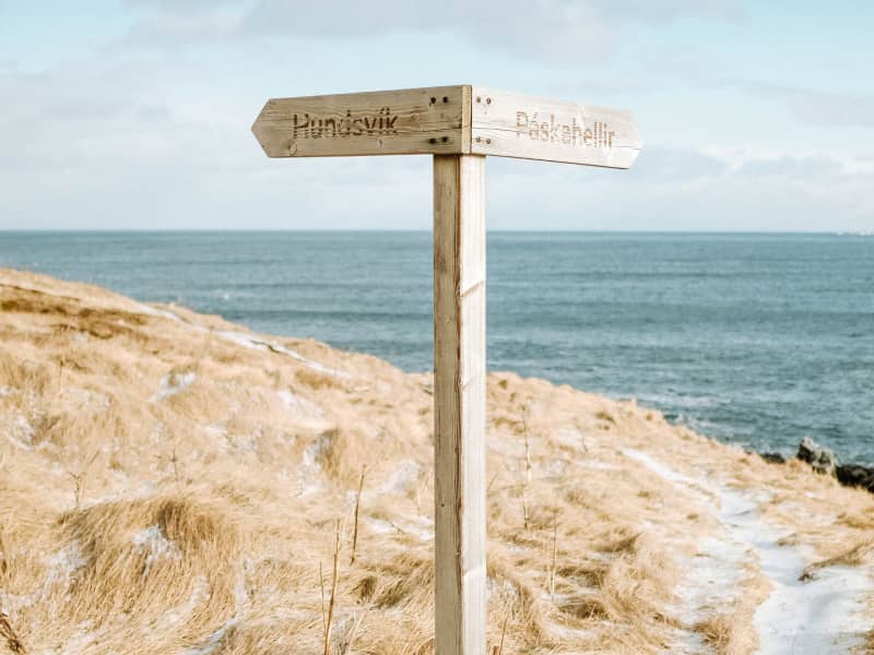
Páskahellir is a small cave by the seaside of Neskaupstaður Nature Reserve, with pillow lava and rock tunnels. You can also find holes that were probably formed by prehistoric trees. A forest that used to grow here was most likely destroyed by lava around 12 million years ago. After that, erosion by the sea formed the cave itself. Legend has it that by visiting Páskahellir on Easter morning, you can see the sun dancing over the ocean waves when rising. The name Páskahellir can easily be seen as a result of this folklore. The walk from the entrance of the Nature Reserve to the site is about 10 to 15 min. Wooden stairs lead down from the walking path down to the cave, but please note that climbing down can be tricky and must be done with caution.
Rauðubjörg
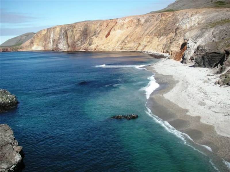
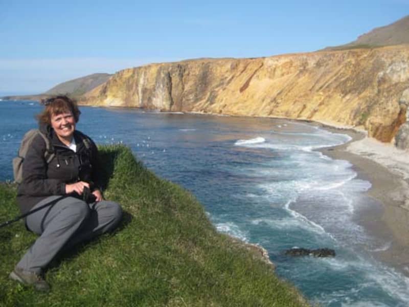
These brightly colorful rhyolite cliffs rise over the seashore of Barðsnes peninsula, across the bay from Neskaupstaður. Residents of the fjord have long said that if the sun shines on them in the evening, there will be good weather the next day.
Vöðlavík Hiking Trails
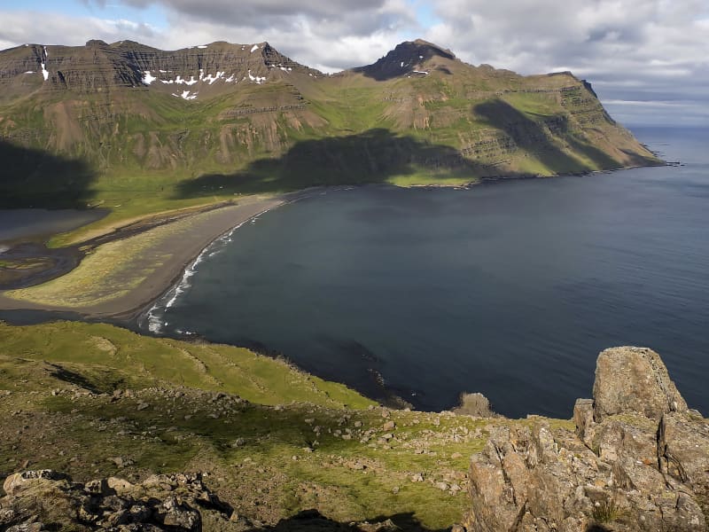
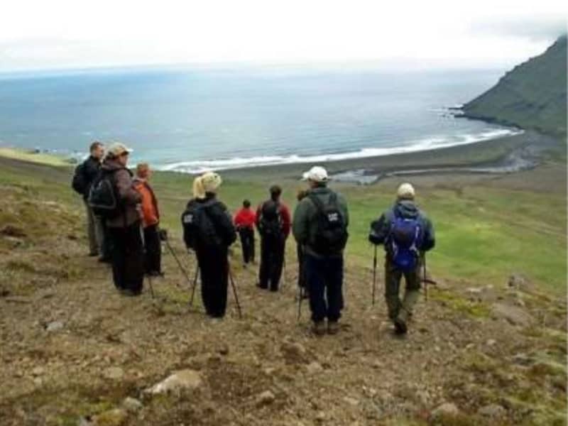
Vöðlavík, which is sometimes called Vaðlavík, is a deserted cove south of Gerpir, where there used to be several farms. A road leads to Vöðlavík from Eskifjörður, which is only open in the summer for four-wheel drive cars. There are two marked hiking trails to Vöðlavík from Eskifjörður / Reyðarfjörður, one over Karlsskálastaður and on the other by Krossanes. From Vöðlavík there is a hiking trail to Sandvík. It is about a five-hour walk around Gerpisskarð, peaking at about 700 m.y.s. From the cove and the heath, Vöðlavíkurheiði, two mountain peaks are the most prominent: Snæfugl and Hestshaus. Disastrous maritime accidents have occurred at Vöðlavík in the past. For example, the ship Bergvík SU ran aground in Vöðlavík in December 1993. Many people still remember that in an attempt to get the ship afloat, the rescue ship Goðinn ran aground in the bay on January 10, 1994. One died at the wreck, but the Defense Forces' helicopter squadron at Keflavík Airport rescued other crew members. These events are discussed in the documentary Háski in Vöðlvík.
Neskaupstaður Nature Reserve
Iceland´s first nature reserve. The reserve, stretching from Stórilækur toward the ocean, became formally protected on November 29th, 1972, making Neskaupstaður Nature Reserve the first of its sort in Iceland. In fact, only a few towns in Iceland have access to such an ideal area for preservation at their very doorstep. The scenery and view are magnificent, while flora, fauna, and geology are varied, creating a haven for recreation, observation, and instruction in the Icelandic countryside. East of the peak Nípukollur (819m), the ridge slopes NE down to 609m. Lying along the entire eastern slope of Nípa, the protected area includes the shore and shallows into the sea. By the steep slope at the coastline, caves or hollows have been carved out by the ocean waves, of which Páskahellir cae is the largest one. Plant diversity is abundant, with characteristic plants of East Iceland blooming along with rarer species. The cliffs are inhabited by Raven and Thrush, and in the coastal cliffs various sea birds nest, including Fulmars and Puffins. Eider Ducks live at the shore. And puddles left on the rocky coastline, as well as the wave-beaten seaside cliffs, are ideal for inspecting small marine creatures, such as crustaceans, snails and barnacles. Statutory protection has two main aims. Firstly, to preserve the land and bio diversity as uninfluenced by man as possible, and secondly, to grant the public access to the rich and unspoiled Icelandic nature. To achieve these aims, visitors are kindly asked not to disturb in any way the vegetation or animal life of preserve. More information about the Neskaupstaður Nature Reserve 
Avalance Defence Structures
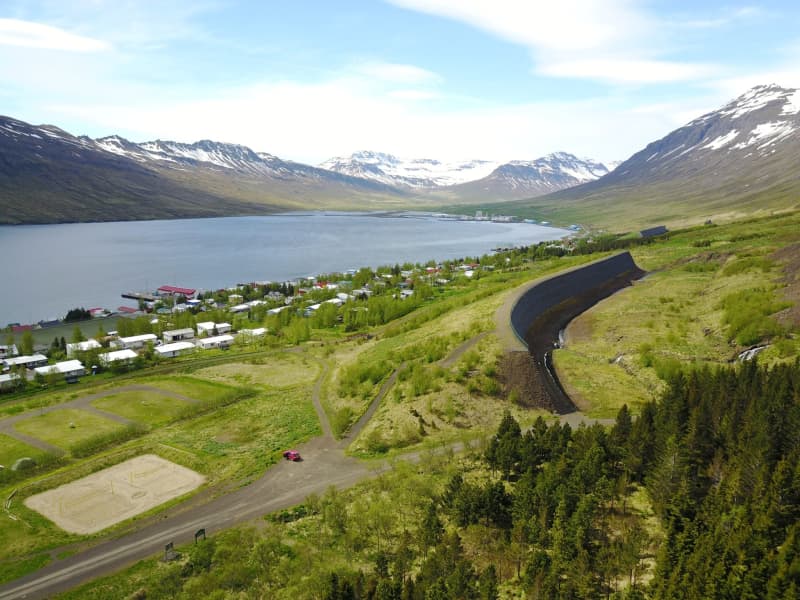
A part of the great outdoors in Norðfjörður. Over the last several years, impressive structures have been built above the town of Neskaupstaður, in order to protect it from snow on the towering mountain slopes. Footpaths allow you to view these structures and you can even get on top of them to enjoy a stupendous panorama of the fjord. Currently two identical defence structures have been built, but in all there´ll be four structures along the mountain side. The remaining two sets are in early preperation stage.
Hengifoss í Seldal
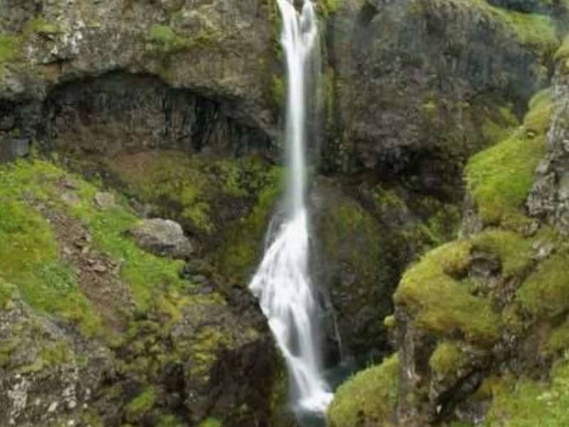
Norðfjörður's highest waterfall Hengifoss, is in the river Hengifossá, which flows from Oddsdalur valley into the valley Seldalur. The canyon is exceptionally pretty and lush.  
Sandvík Bay
Once the easternmost settlement in Iceland. Though this inlet of the Gerpir cliffs is now abandoned, it once sheltered Iceland´s easternmost settlement, and is still home to the famous ghost Glæsir. He used to precede people who were from here wherever the went, and greeted everybody by taking off his head in a friendly manner. A marked path goes from Stuðlar til Sandvík Bay, through the Sandvíkursakð mountain pass. It´s an app. three hrs. route, going 500m above sea level. The view from the mountain pass is nothing less than stunning.
Hellisfjörður
A charming, richly vegetated fjord, deserted and hidden behind the mountainous peninsula across the bay from Neskaupstaður. The ruins of a whaling station that operated early in the 20th century can still be seen here. Powered by Wikiloc
Viðfjörður
The beutiful wilderness at bay Norðfjarðarflói. Of the three fjords or main arms in Norðfjarðarflói bay, Viðfjörður is the most southern. The remaining two are Norðfjörður, the home to Neskaupstaður town, and Hellisfjörður. The Viðfjörður area is widely known for a beutiful walking trails, one lying along the shore from Viðfjörður to Stuðlar and Barðsnes (app. 3hrs walk). This path follows, for the most part, an old track. A bridge lies over the river Viðfjarðará. Viðfjörður was known in the 19th century as a ghostly place. Strange incidents were reported to happen, enkindling eerie stories on the viðfjörður phenomenons. A popular 20th-century Icelandic author, Þórbergur Þórðarson, described some of the ghostly goings-on at Viðfjörður decades ago in one of his books.