Skip to content

Or try searching by Category and/or Location

Valtyshellir

Walk from the sign by road no 1 road east of Gilsá river (N65°08,172-W14°31.133), pass the ruins of Hátún which used to be a large farm in the early ages. It is said to have had 18 doors on iron hinges and latches. Remains of old rock fences are visible.

In the 19th century, an ancient sword was discovered there but it was promptly melted down and the metal cast for horseshoes and other necessities. Walk on further and along a flat grassy pasture named Kálfavellir. Valtýshellir is a small cavity further on behind some rubble north of Hjálpleysuvatn lake. The walk is about 8,4 km. The visitors’ log and a stamp are by the cave.

GPS : N65°06.410-W14°28.517

Powered by Wikiloc

Valtyshellir

Walk from the sign by road no 1 road east of Gilsá river (N65°08,172-W14°31.133), pass the ruins of Hátún which used to be a large farm in the early a

Hottur

Höttur (Hátúnahöttur) is a beautiful mountain which lies in the mountain range between Vellir and Fagridalur and is favored by many who live in Egilss

Sandfell Skriddalur

Sandfell is an impressive looking rhyolite mountain in the shape of a ridge and reminds one of a tent because of its even slopes which are mostly free
Stóra-Sandfell Travel Service

Stóra-Sandfell Travel Service

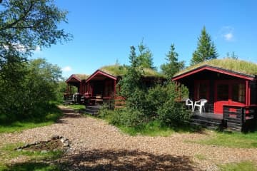
The travel service at Stóra-Sandfell is located 17 km. south of Egilsstaðir, by highway 95. When driving over the road called Öxi (which is the shorte
Stóra-Sandfell Horse Rental

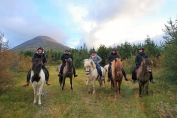
Stóra-Sandfell Horse Rental

The horse rental/The travel service at Stóra-Sandfell is located 17 km. south of Egilsstaðir, by highway 95. When driving over the road called Öxi (wh