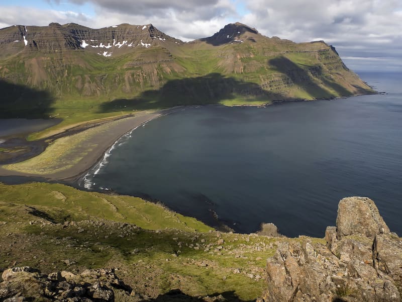
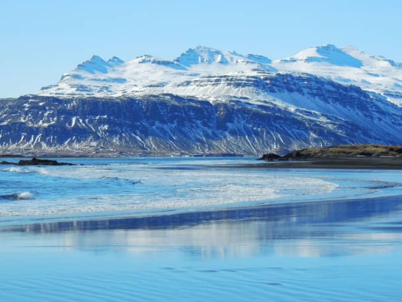
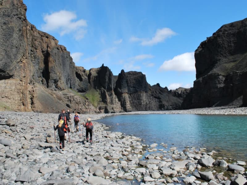
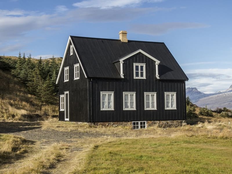
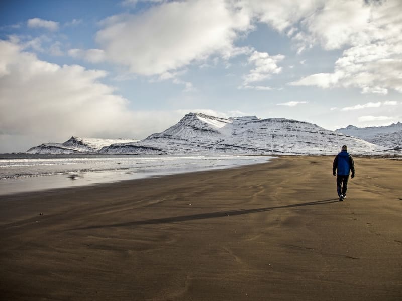
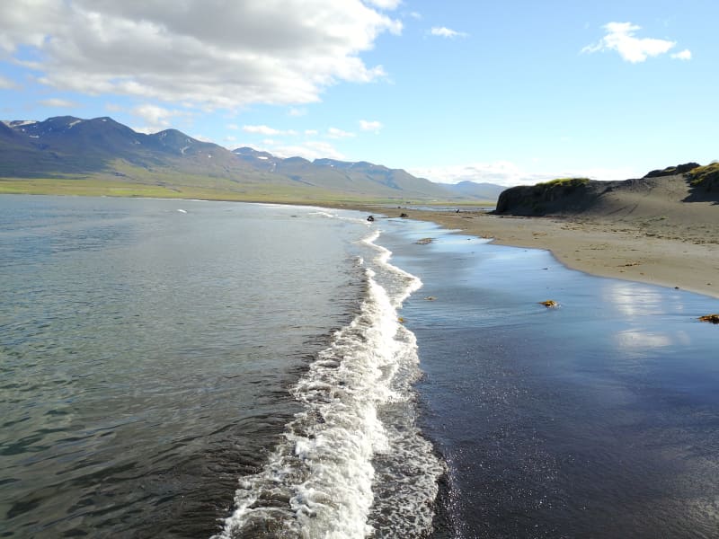
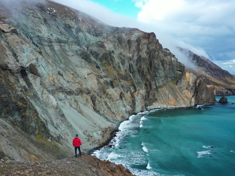
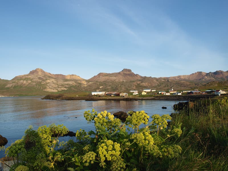
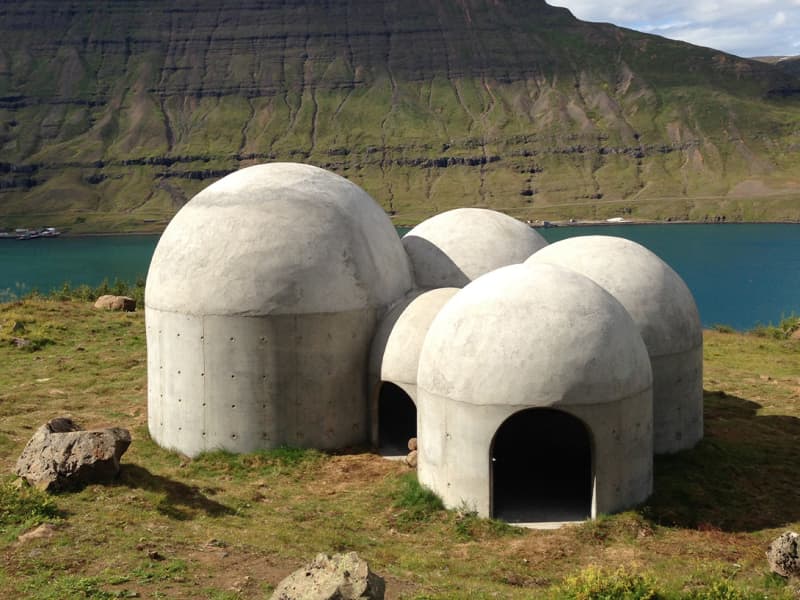
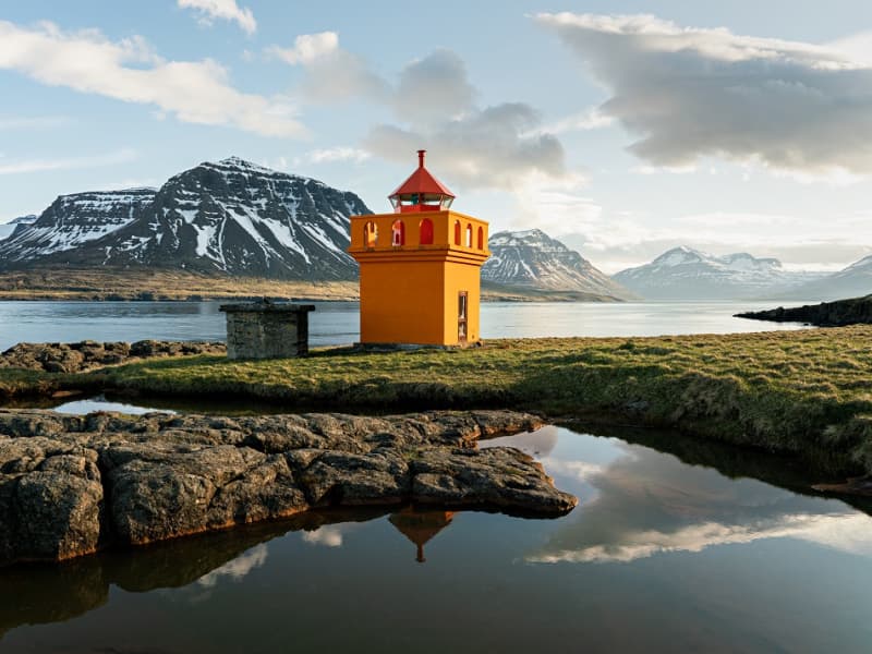
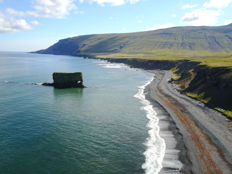
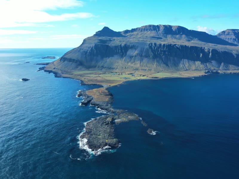
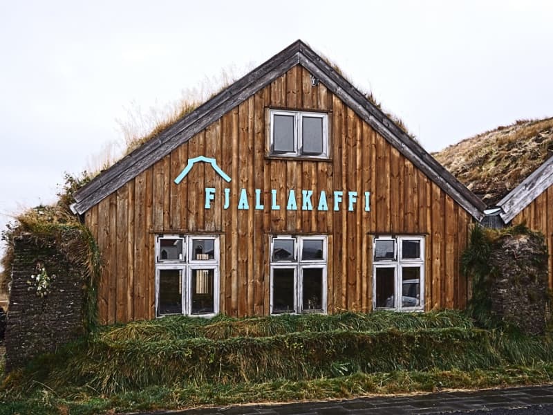
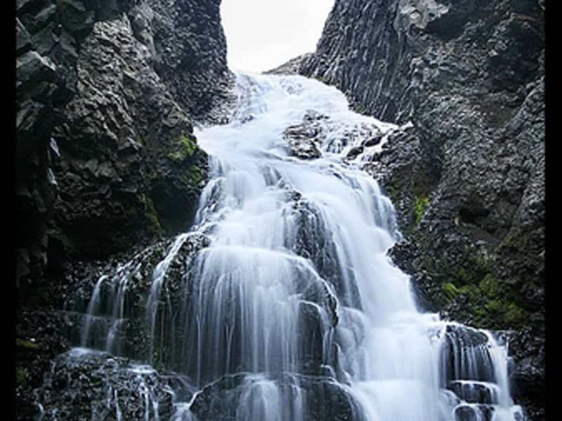
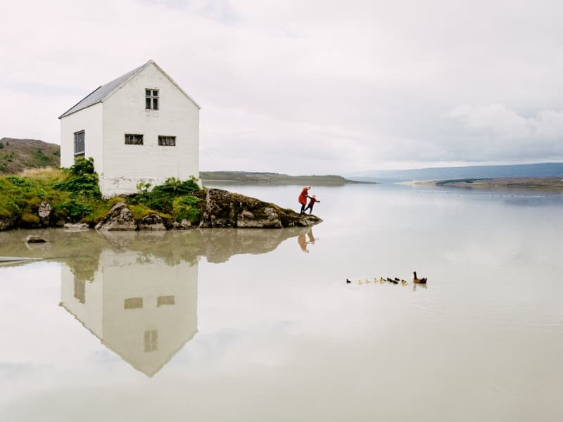
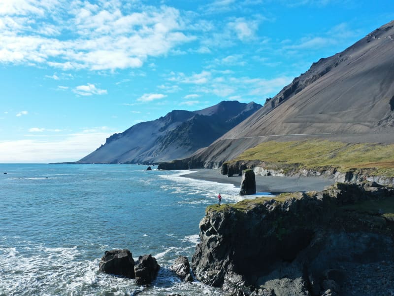
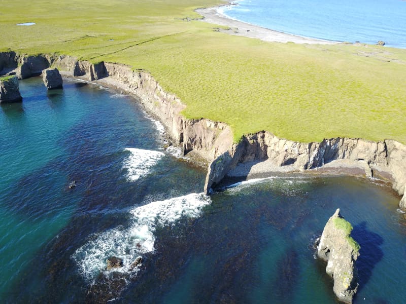
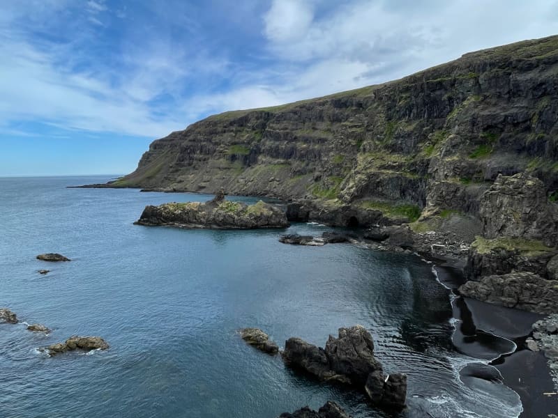
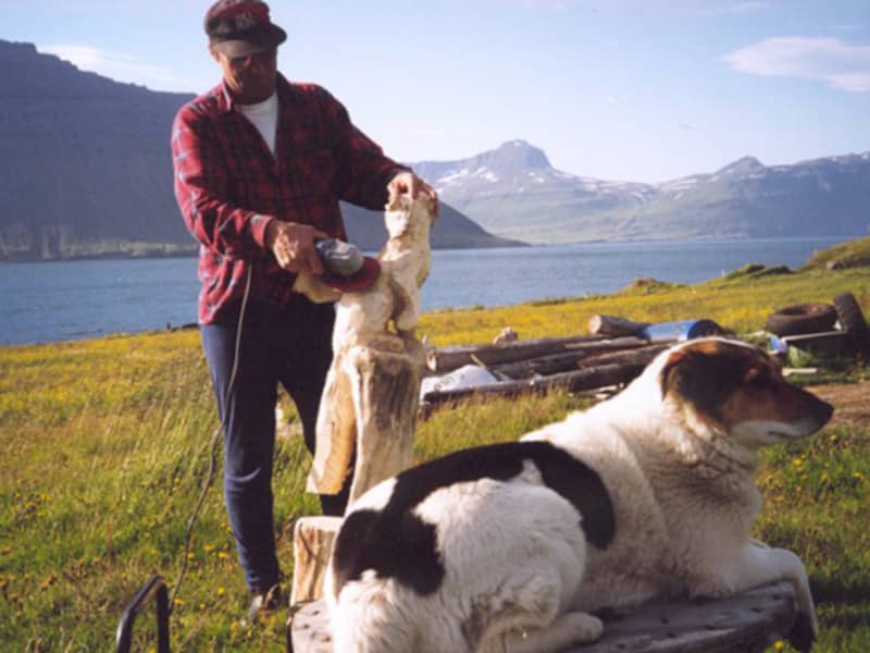
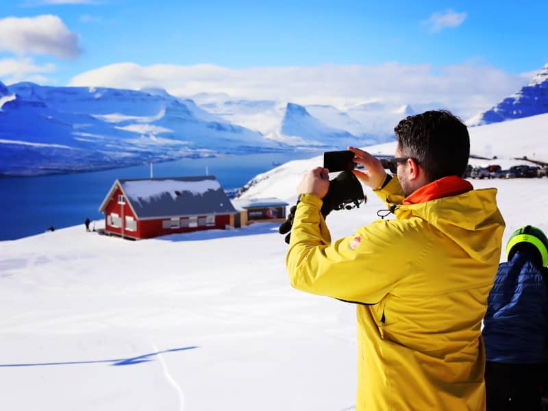
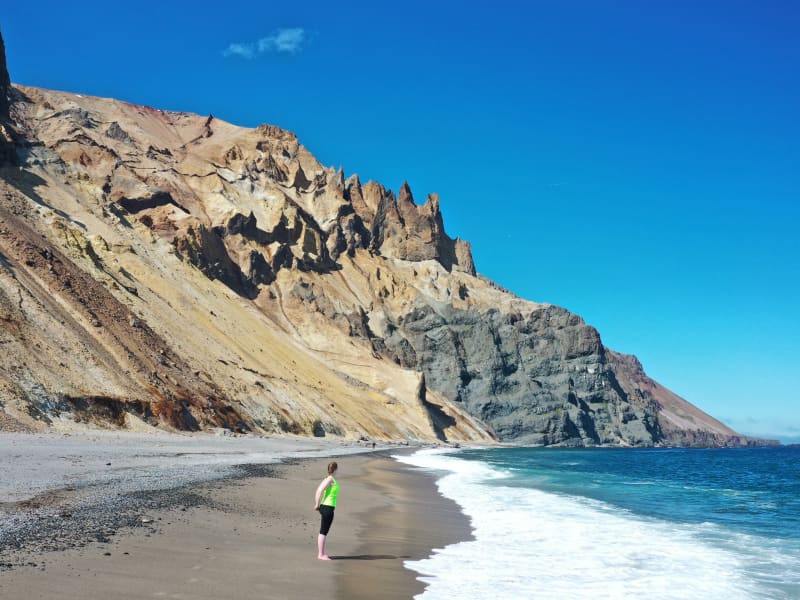
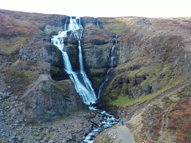
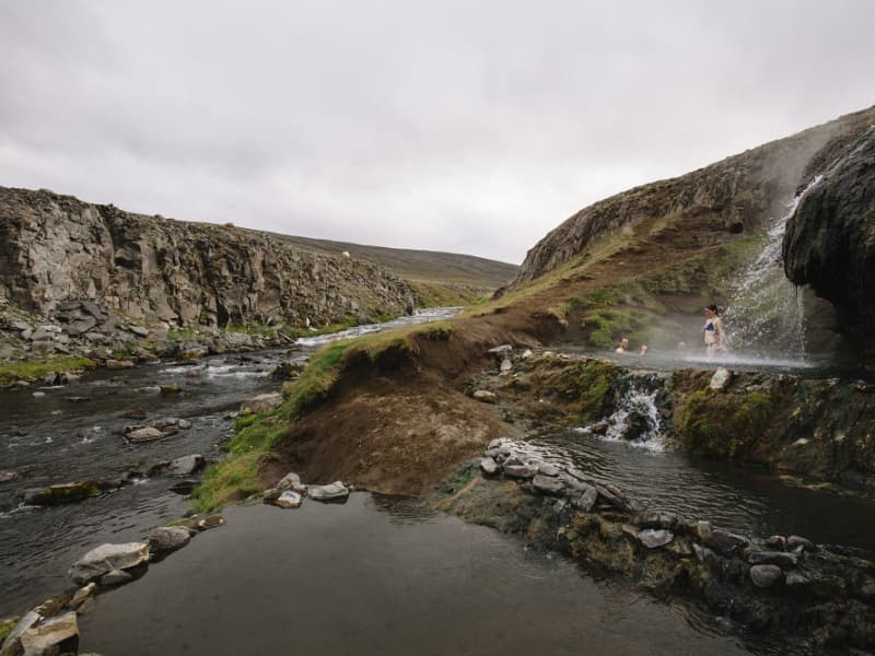
Black Sand Beach in Djúpivogur
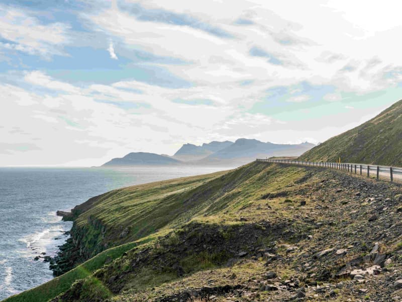
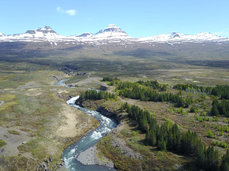
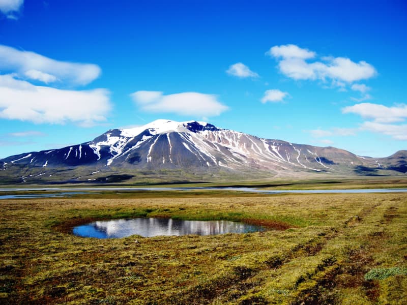
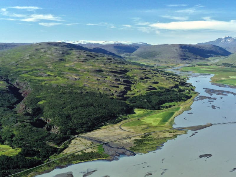
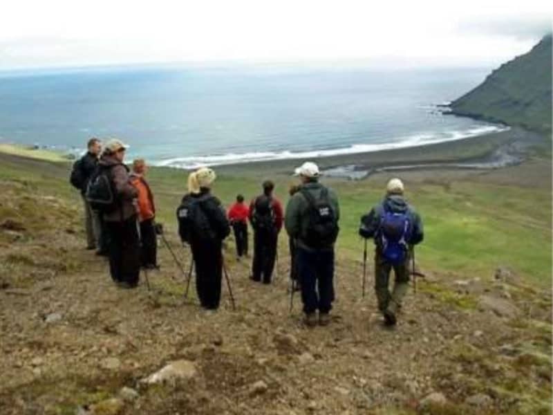
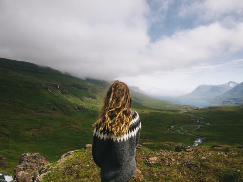
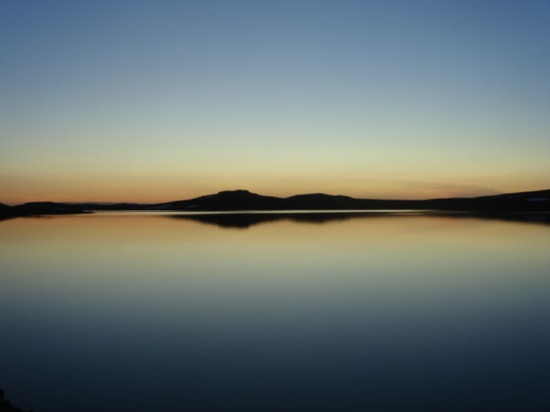
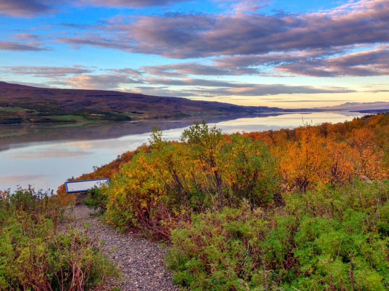
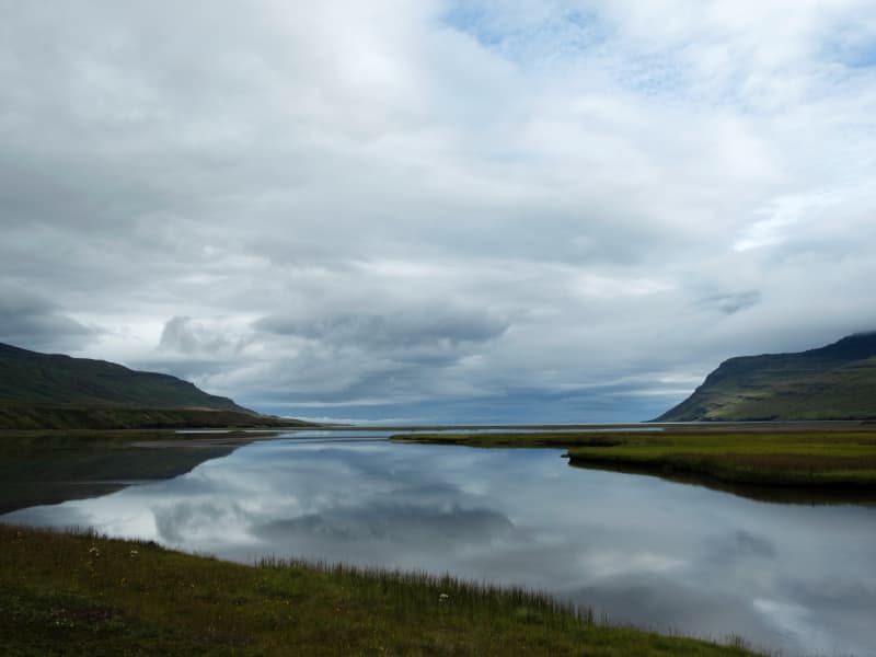
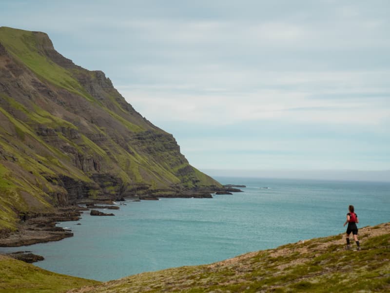
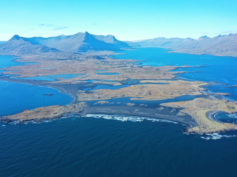
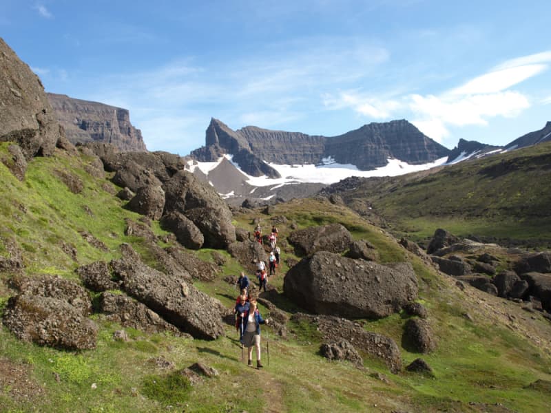
The area on Búlandsnes, just outside Djúpivogur, is ideal for hiking, experiencing beauty and adventure, playing, learning, and enjoying a break from the hustle and bustle of everyday life in the spirit of the slow movement, Cittaslow. It features exceptionally beautiful and diverse landscapes, with the colours of black sand, vegetated islets, and mirror-like ponds, rich birdlife, and abundant history. There is also a very scenic view of the mountains and the sea.
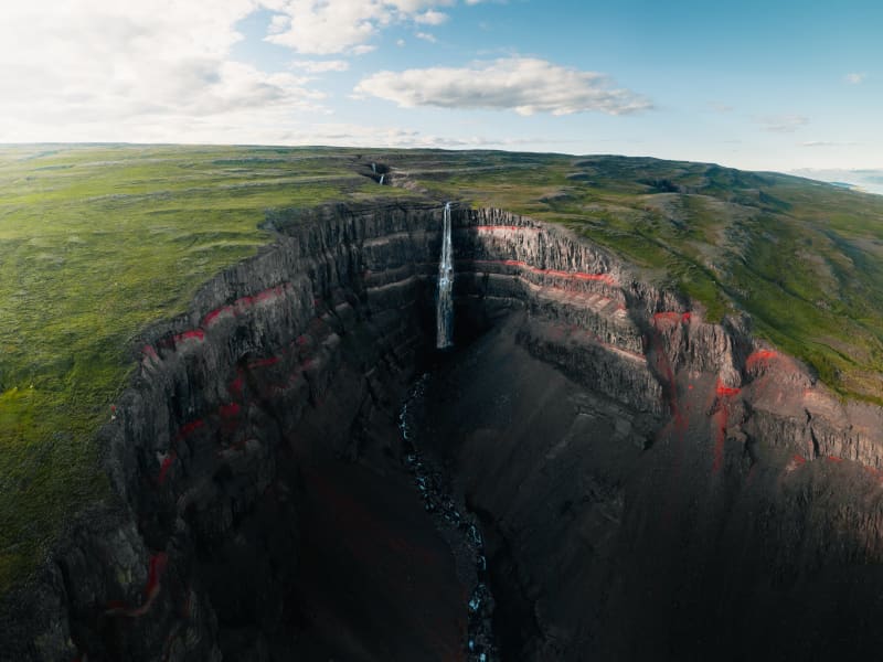
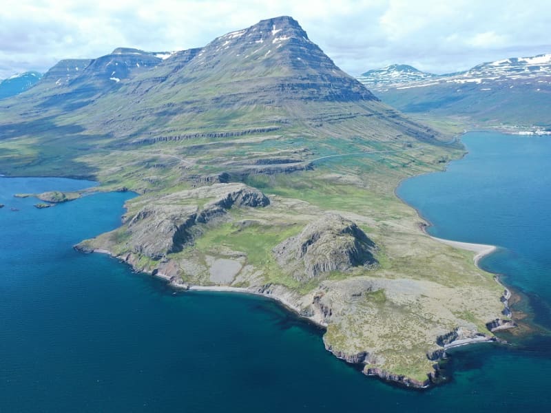
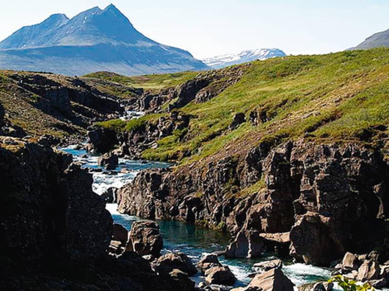
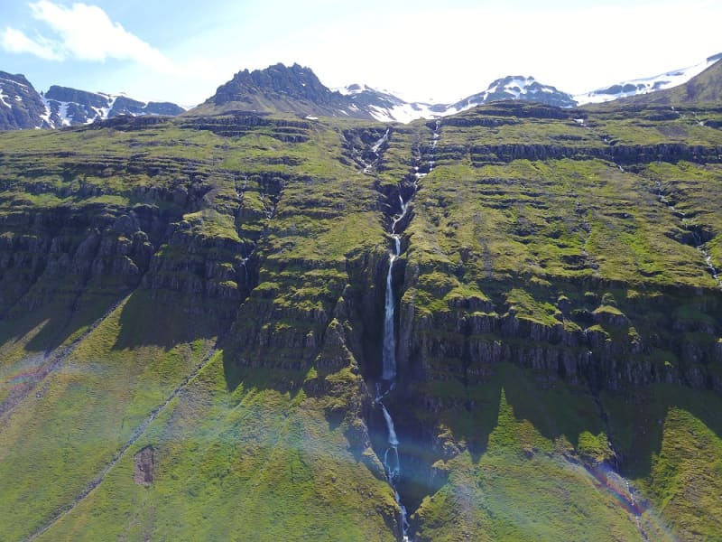
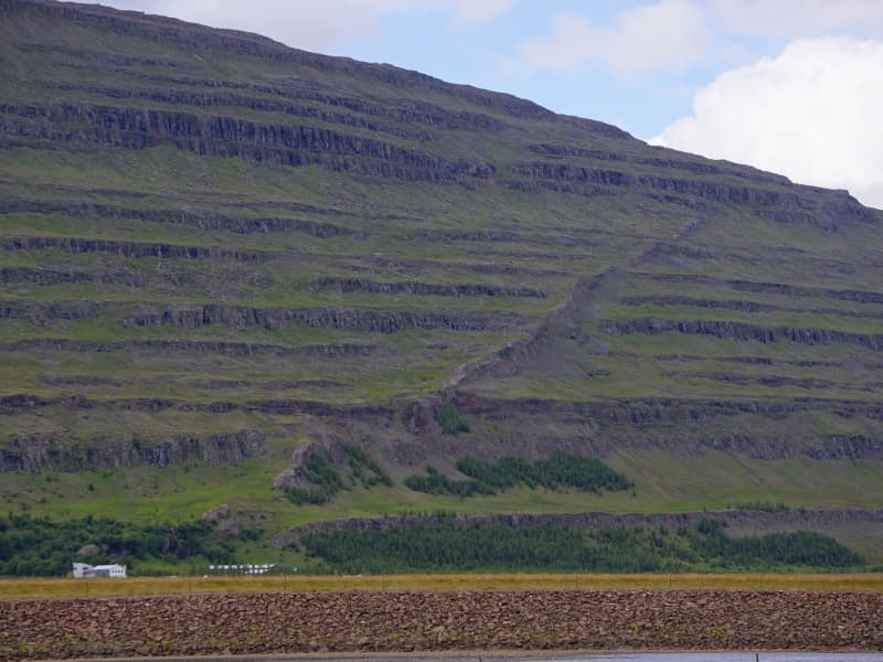
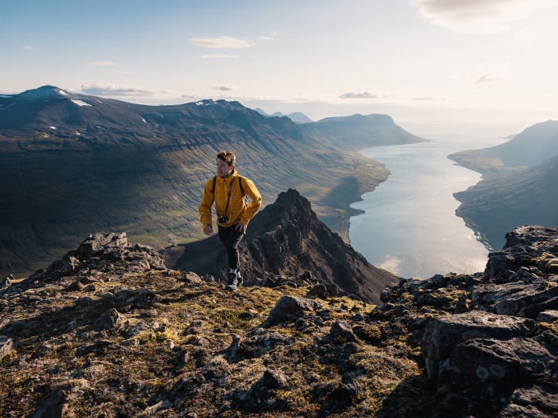
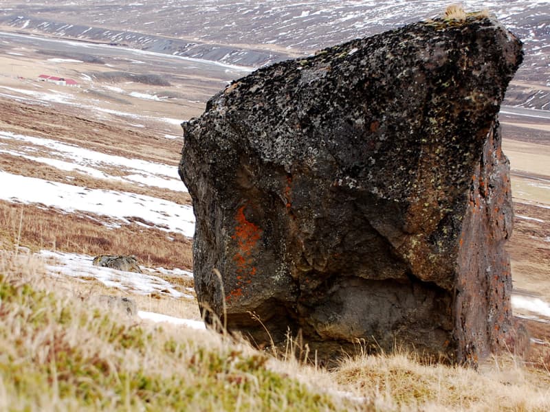
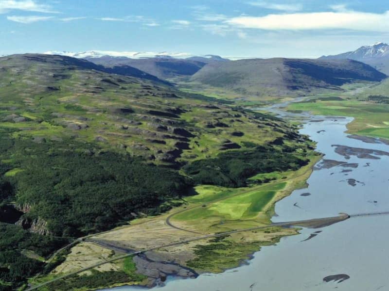
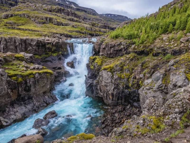
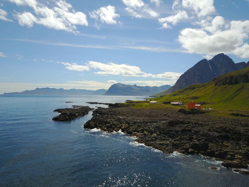
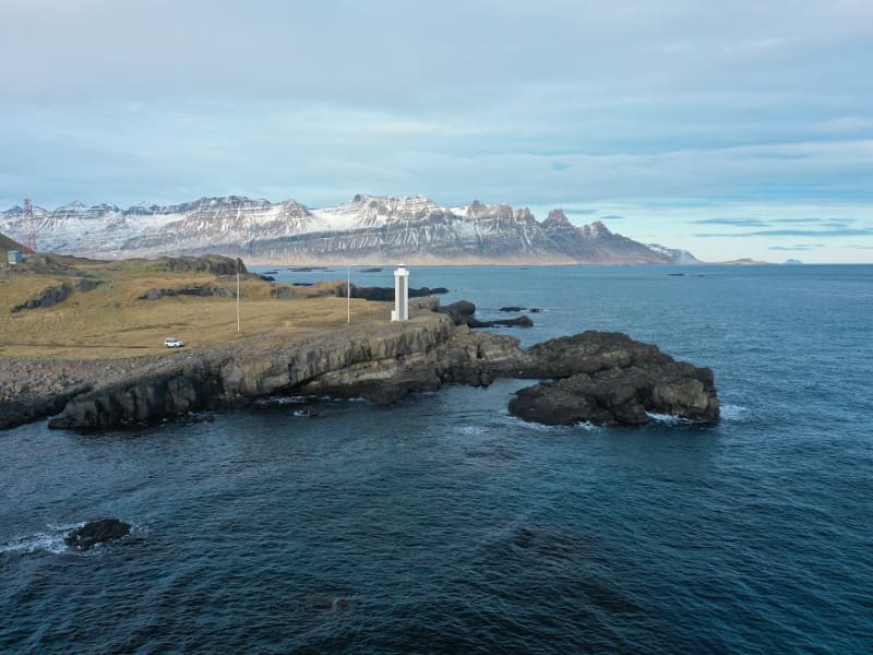
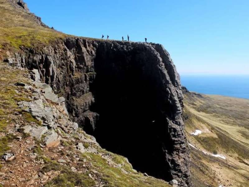
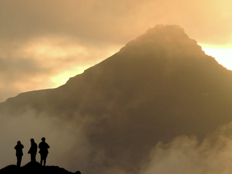
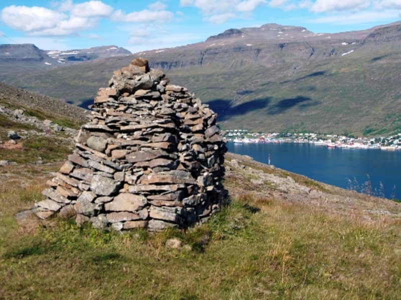
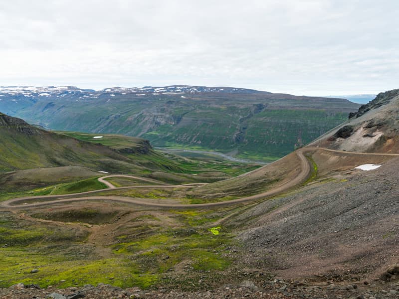
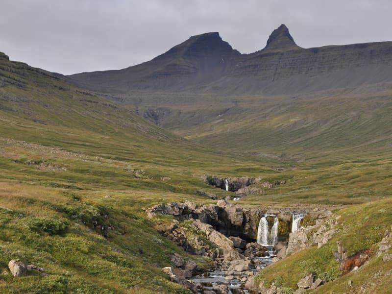
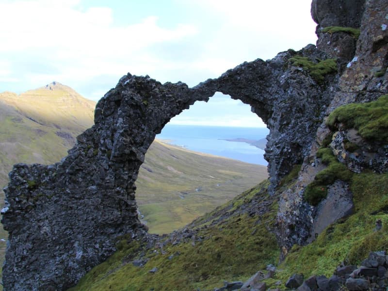
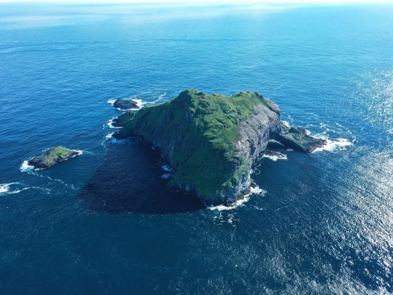
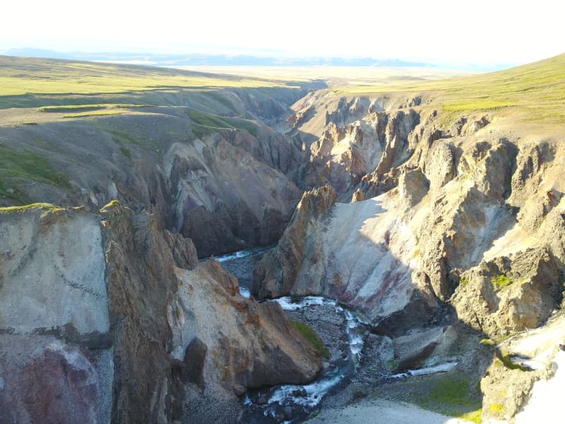
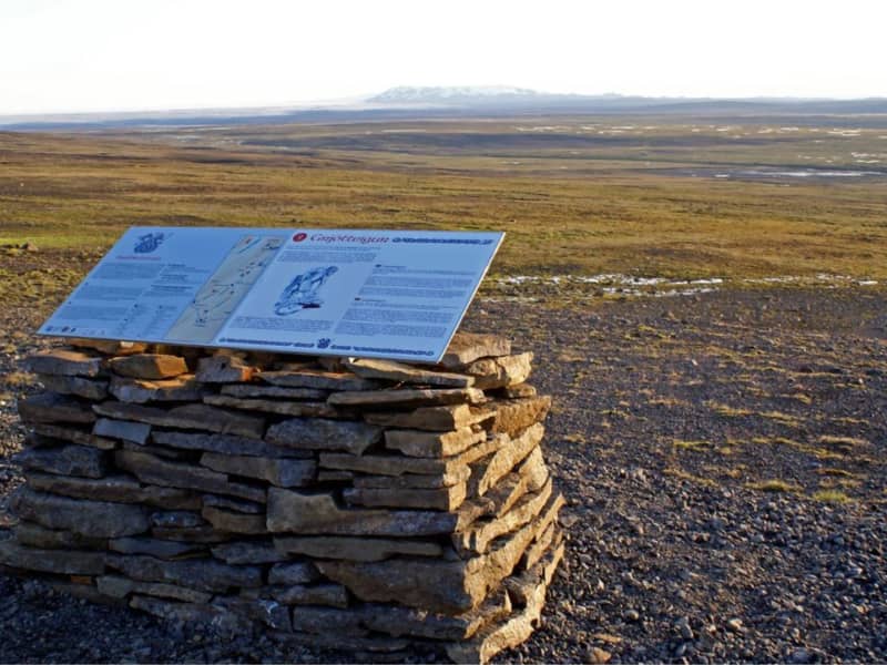
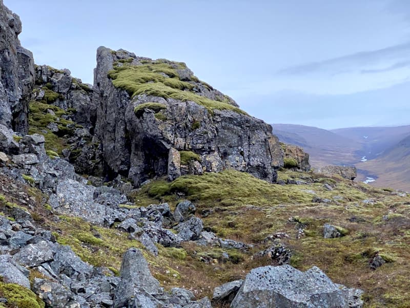
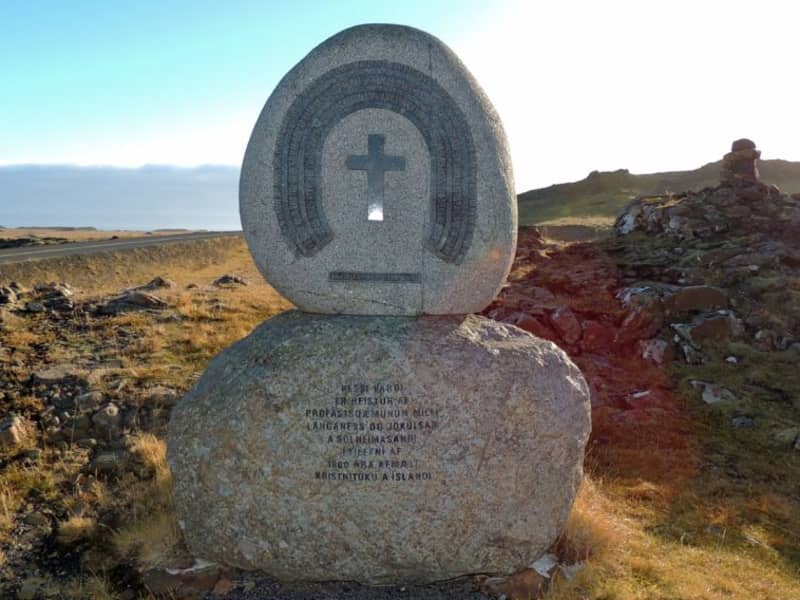
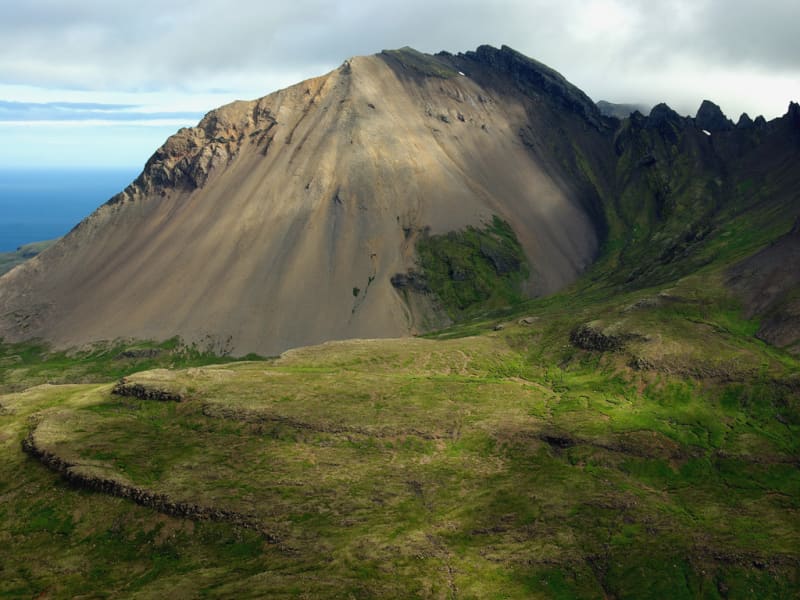
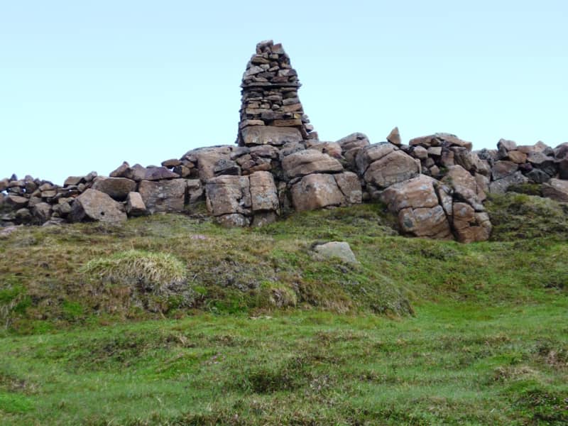
You can start the hike by walking east from Djúpivogur, stopping at Bóndavarða (Farmers’ Cairn). From there, you have a fantastic view in all directions, with a viewing disc showing the main place names. Inland, there are many prominent peaks and mountains, with Búlandstindur being one of the most beautiful and famous—a tall and steep pyramid on thesouthern side of Berufjörður. Towards the sea, you see islands and skerries like pearls on a string, with Papey being the largest and most well-known. The surroundings of Djúpivogur are marked by distinctive ridges or high, thin rock formations, standing parallel and giving an enchanting look to the area. These are dikes, ancient solidified lava that filled cracks during volcanic eruptions millions of years ago. Because the rock in these dikes is hard, the Ice Age glacier couldn't level these ridges to the ground.
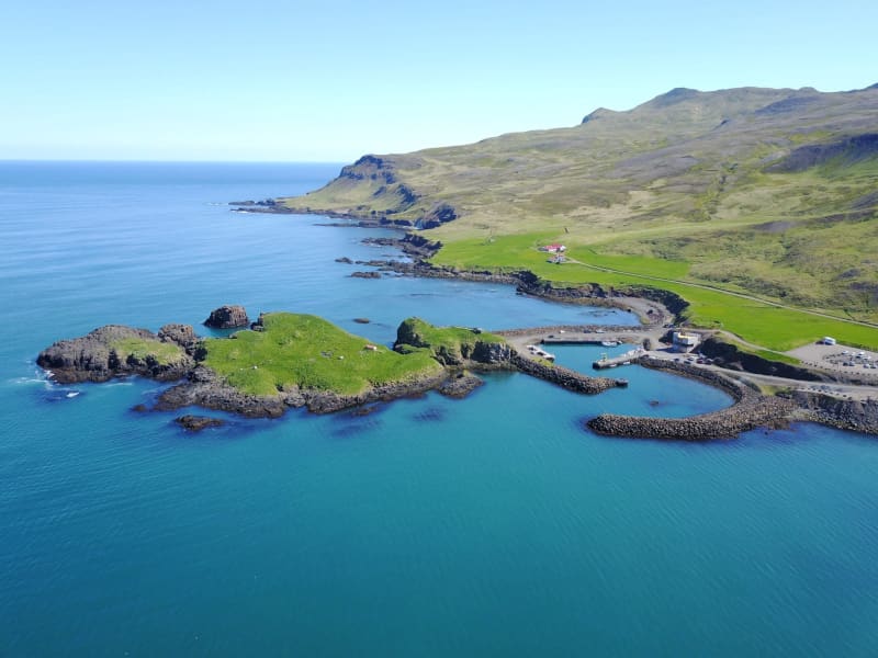
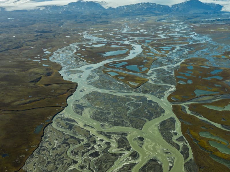
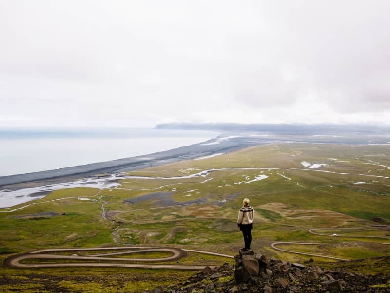
From Bóndavarða, you can continue northeast along Langatangi cape or head directly east down to the shore and then south to Grunnasund and across it to the sand. Grunnasund may need to be waded or you can take a detour along its end. You can also walk straight out to the sand southward on the road that leads to the airstrip, a route also suitable for driving. The environment on Búlandsnes has changed significantly from earlier times when the islets on the sand were real islands with boat-accessible channels between them.
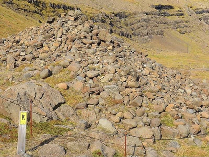
South of Grunnasund, the route continues into Úlfsey. In the past, when there was a channel between it and the mainland, boats rowed through it. Gradually, the channel shallowed, and sources say it was full of sand over 100 years ago, sometime after 1880. On Úlfsey, there is said to be an ancient burial mound, probably named after a person named Úlfur. "No man shall set foot on land there without singing a verse by the mound, making a prayer, or placing a stone on the mound," according to the folk tales of Jón Árnason. The mound believed to be Úlfshaugur is a half-grown pile of stones in the northeast of Úlfsey.
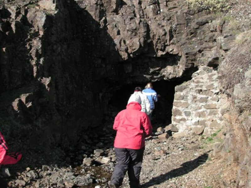
From Úlfsey, you can walk southeast to Hvaley where you can see, in the southernmost cliffs, a cave, considered a natural formation but filled with sand. It was partially excavated a few years ago but has since filled with sand again. It is believed that people who used the island for egg collecting or as a sheepfold, stayed in the cave.
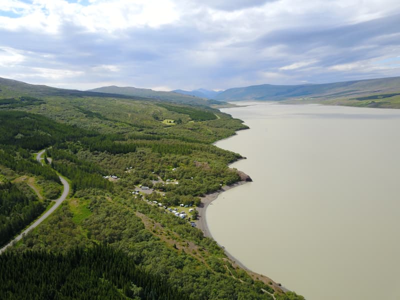
Continue the hike with a stop at Kálki, where there are ruins of houses, and then out to Sandey. It is possible to scramble down to the shore in Sandey if the tide is low and explore a cave there. To close the loop, you can walk along the airfield to the ponds Fýluvogur and Breiðavogur, but first, you might take a detour west across the sand to Hrísey and Kiðhólmi. According to sources, there were settlements in Hrísey in earlier times, and ruins are visible there. According to records, there was a trading harbor in Fýluvogur, then a navigable cove in the 1500s. German merchants from Bremen traded at Fýluvogur, while Hamburg merchants traded at Djúpivogur. With the establishment of the Danish trade monopoly in 1602, German trade ceased.
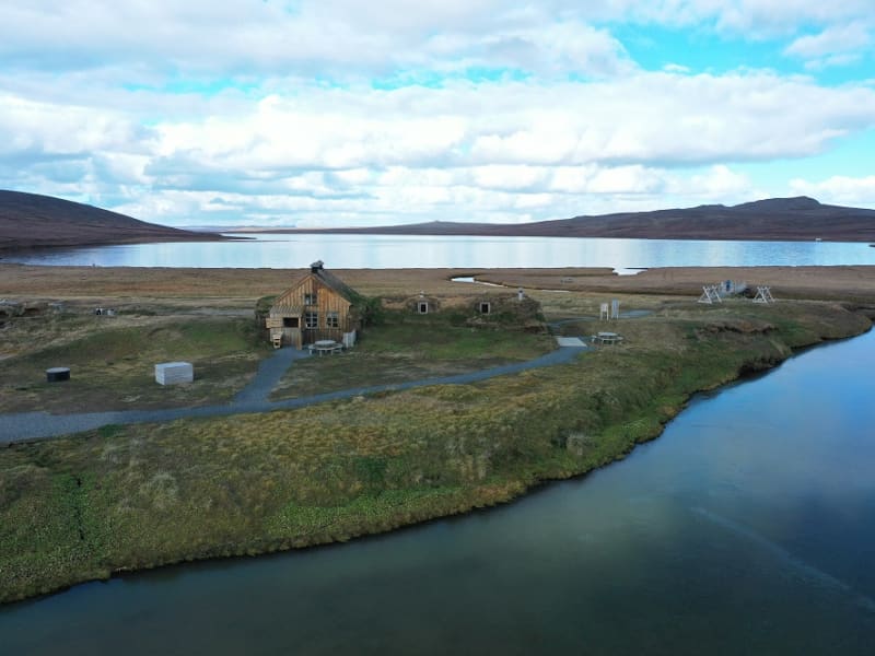
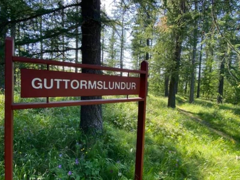
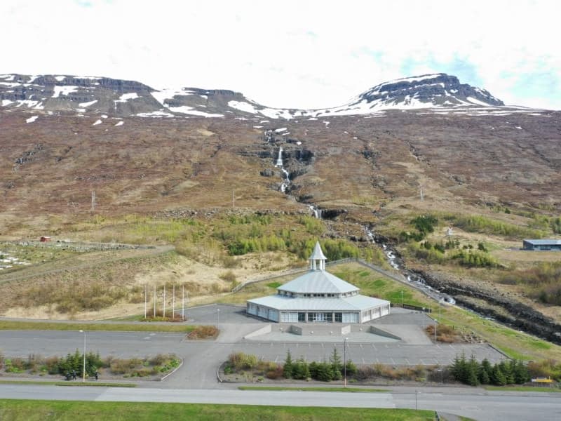
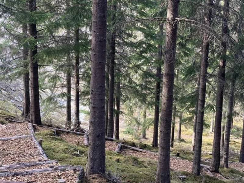
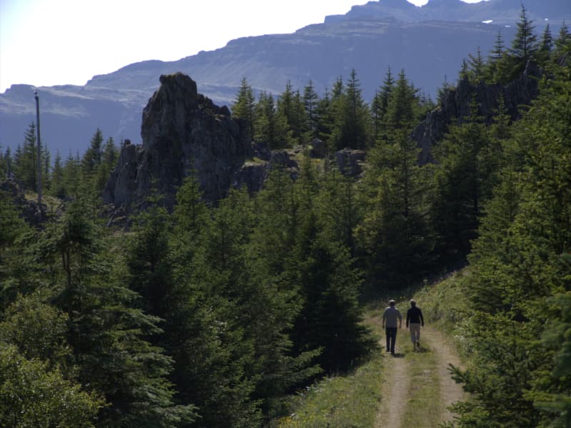
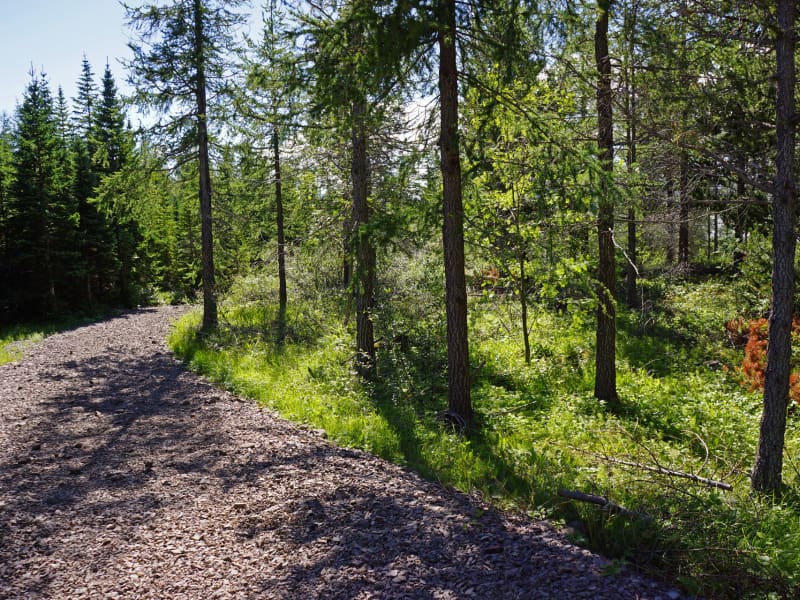
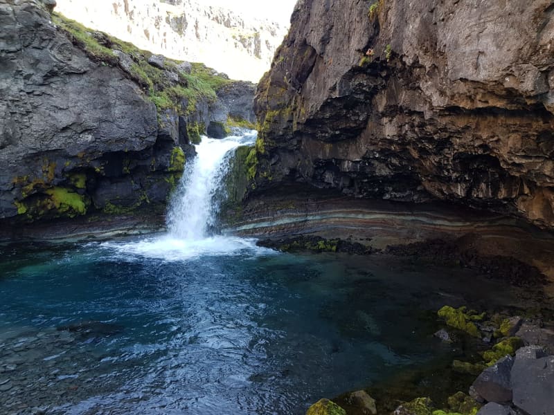
At Fýluvogur, there are now birdwatching houses to make it easier for people to observe the diverse and bustling birdlife there. Wetlands, ponds, and shores are ideal for birdwatching, especially in spring when migratory birds arrive and during the breeding season, but there is also a passage of migratory birds through the area in autumn. There are many waders and very diverse duck breeding, such as the gadwall and shoveler. The great crested grebe has also nested by the ponds. Besides the many breeding birds, many waders and ducks pass through the area in spring and autumn, including interesting vagrant birds. In addition to the wetland birds, which are prominent on Búlandsnes, you can see seabirds along the coast, moorland birds on the hills and heaths, and if you go up into Hálsaskógur, a forested area near Djúpivogur, you might encounter the goldcrest, the smallest bird in Europe, and other woodland birds. Hálsar is also an ideal area for hiking and nature observation, featuring diverse and unusual landscapes with distinctive dikes.